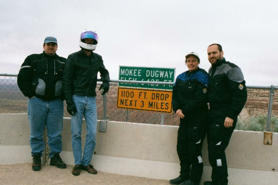
It takes me a few minutes to balance my camera on the tank bag and to get it pointing where I want it. I forgot to remove my communicator battery plug from my collar and it looks like some kind of growth on my face :-(.
|
It takes me a few minutes to balance my camera on the tank bag and to get it pointing where I want it. I forgot to remove my communicator battery plug from my collar and it looks like some kind of growth on my face :-(. | |
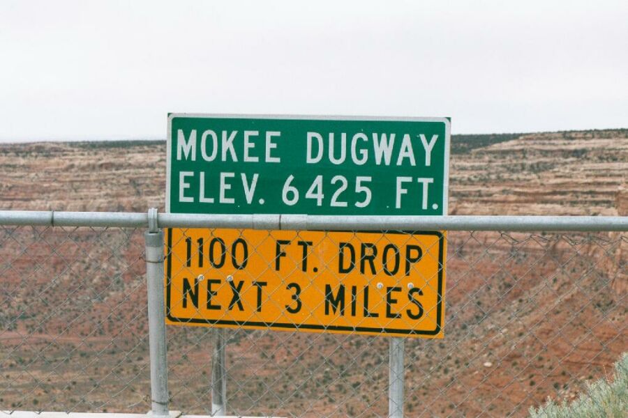 |
Just in case you can't read the sign in the previous picture. |
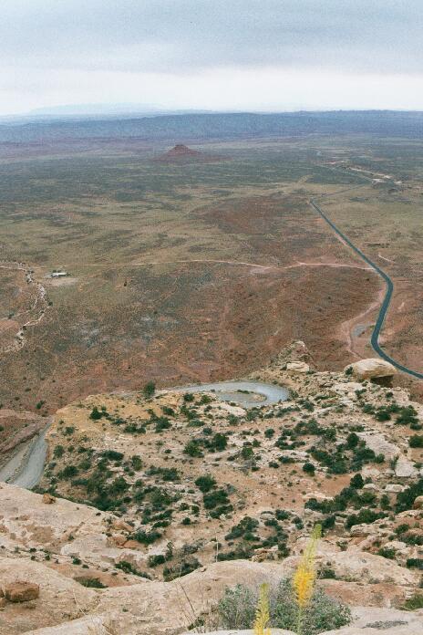
Here you can see the sharpness of a typical hairpin. A few of them are actually paved right in the corners only. The road on the right stretches off into the desert towards the tiny town of Mexican Hat and the Northern edge of Monument Valley. The dirt road running off to the left is the road through the Valley of the Gods. |
 |
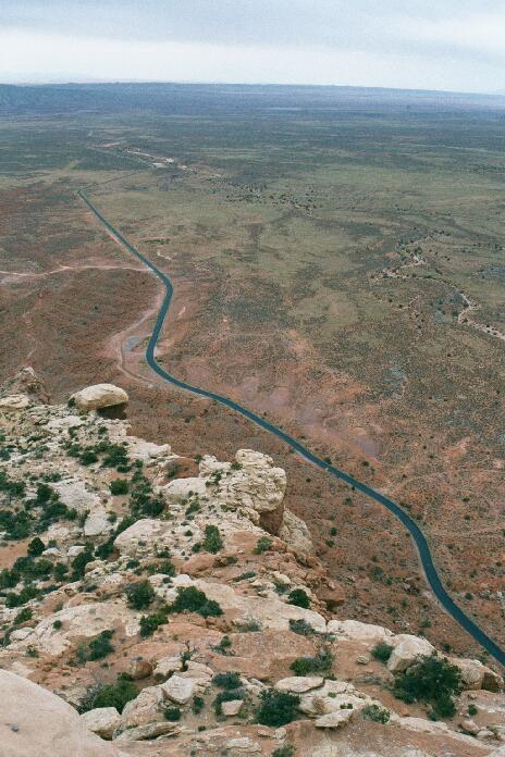 |
We're up so high you can actually see the curvature of the Earth in the distance. Looking over the edge I can see that it is really a steep long drop to the bottom. |
Once we mount up for the trip down, this is our first sight of the road as it bends around the edge of the ledge and starts its tortuous wind down the face of the ridge. |
 |
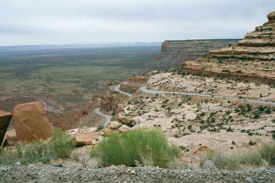 |
Looking back you can see just how much the road winds around. You can also see the cliffs in the background and get a good idea of what it is we are descending! If only I had a dual sport bike right now! |